Aerial Mapping
Vertical aerial photography gives a straight-down perspective of an area.
We understand each client’s individual needs and capture the best imagery possible. We have best aerial platform and equipment for each project to minimize costs for our clients without compromising on quality.
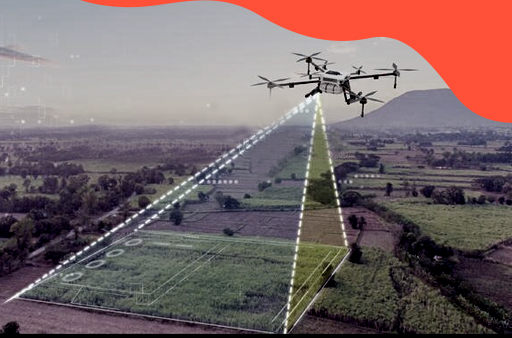
Our Drone surveys are to capture aerial data with downward-facing sensors, such as RGB/Multispectral cameras and LIDAR payloads. Multiple flight lines are predefined to ensure the high overlap between flight lines and successive images to give the best high definition data.
Photogrammetry combines images captured that contain the same point on the ground from different vantage points to yield detailed 2D and 3D maps. GCP’s are acquired from the project site which will be used in a CAD/GIS platform. It is executed with high-resolution cameras mounted in our vertical positioning drone pointing straight down. We use Wingtra One Post processing kinematics as well which capture large area coverage in single flight enabling high-precision mapping to correct a map generated from its captured data.
Our common aerial mapping deliverables:
Orthomosaic
Digital Elevation Model (DSM/DTM)
3D Point cloud
3D texture Mesh
Contour Lines
Quality Report
Primary benefits:
Reduce field time
Less survey cost
Accurate and exhaustive data
Maps of inaccessible areas
High Definition images/Videos
Precise measurements
Features:
VTOL
42 MP/0.7 cm/Px (0.3 in/Px) Ground Sampling Distance
Down to 1 cm (0.4 in) absolute accuracy