Land Survey
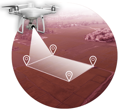
Drones have proven to be a powerful tool to help in the mapping and surveying industry. These enable us to procure precise topographic maps, 2D & 3D models of areas with inaccessible evidence. Data collected can look more realistic when a drone is integrated in surveying land. We provide vide range of camera specs to vary between the client’s requirements and deliver accordingly.
We provide drones with multispectral and RGB cameras to capture images as per client’s desire. Along with that, we offer LiDAR payloads to help collect information. Each angle is tagged with the exact coordinates. We offer fixed-wing motor drones by which mapping benefits by gliding through the air and stay in air longer than a multirotor unit. This drones can be programmed for autonomous flight to fly over a space multiple times for aerial mapping
Primary benefits:
Vast area coverage
High-resolution 4k capture
Longer battery life per fly
Autonomous programmed
High precision
Absolute accuracy
10+ Years of Experience in the Energy Industry.
Completed Drone based IR thermography in 8+ States with several locations across India
Solar Capacity
PV modules
Solar Sites